Mapping Survey
deal with the surveying and displaying of underground works and mining claims, in which their spatial relationships are determined against the surface.
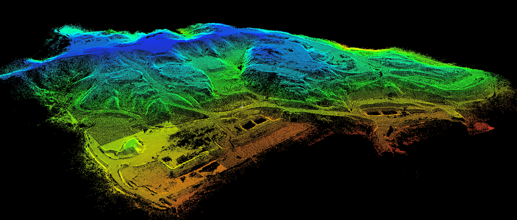

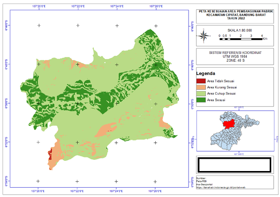
Mapping activities are usually carried out by surveyors in very large areas of land. As is the case with mining and plantation companies that own tens, hundreds, to thousands of hectares of land. But unfortunately, the need to map the extent of the land is not in line with the existing human resources. It's not easy for humans to reach tens of hectares quickly.
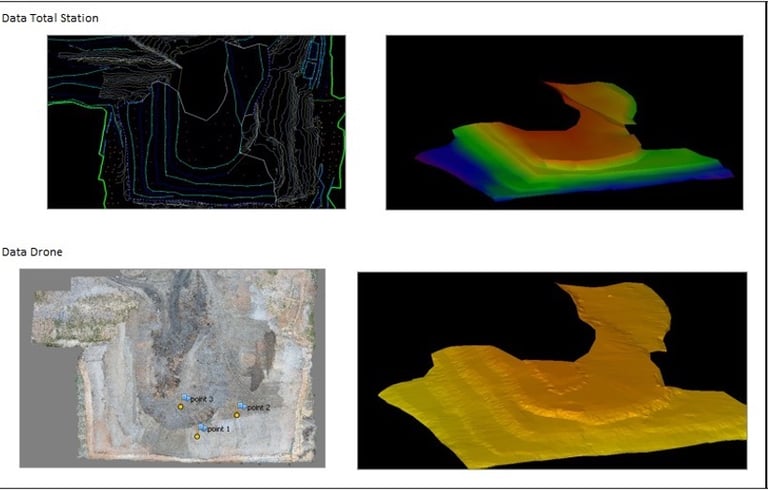
Until finally the Unmanned Aerial Vehicle (UAV) or better known as drones was used to minimize these obstacles. Drone mapping is the newest way to map large areas of land and quickly. The use of drones is widely preferred because it can save time and budget exceeding 50%.
One study conducted in 2020 showed that the average percentage of data accuracy for all samples using drones was 96.2%. When used in large areas, it is very possible for drones to get similar accuracy values. Often mapping or shooting with satellites may be constrained by the weather and long distances resulting in significant costs. Mapping using UAVs is more efficient and effective. Mapping surveys using drone units require accurate measurements and careful initial planning to produce good data and according to photogrammetric rules, therefore a mapping service is needed that truly understands drone units and measurements.
Some mapping work is done for the following purposes:
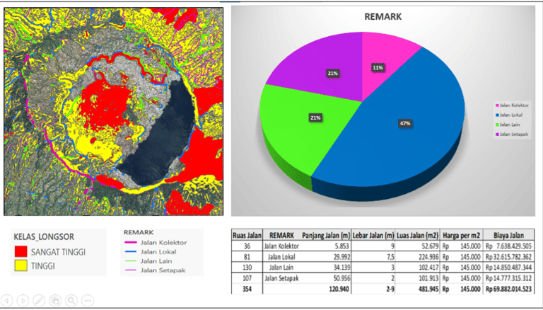
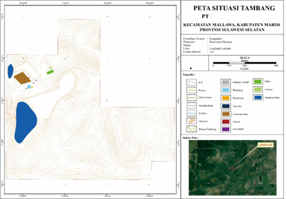
Mapping aerial photographs and topographical surveys in mining areas
Mapping aerial photographs and topographical surveys on plantation land
Mapping aerial photographs and topographical surveys on the construction site
Mapping for the calculation of the volume of stockpiles, minerals, coal
Analysis results can be
Aerial Photography (Row Data)
Orthomosaic Aerial Photography
Digital Terrain Models (DTM)
Digital Surface Models (DSM)
Contour
3D Visuals
